Sub-Total: $0.00
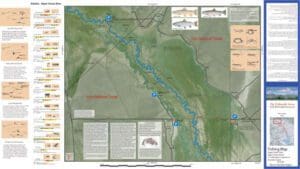
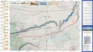
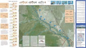
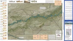
Lower Owens 1&2
$12.95
Description
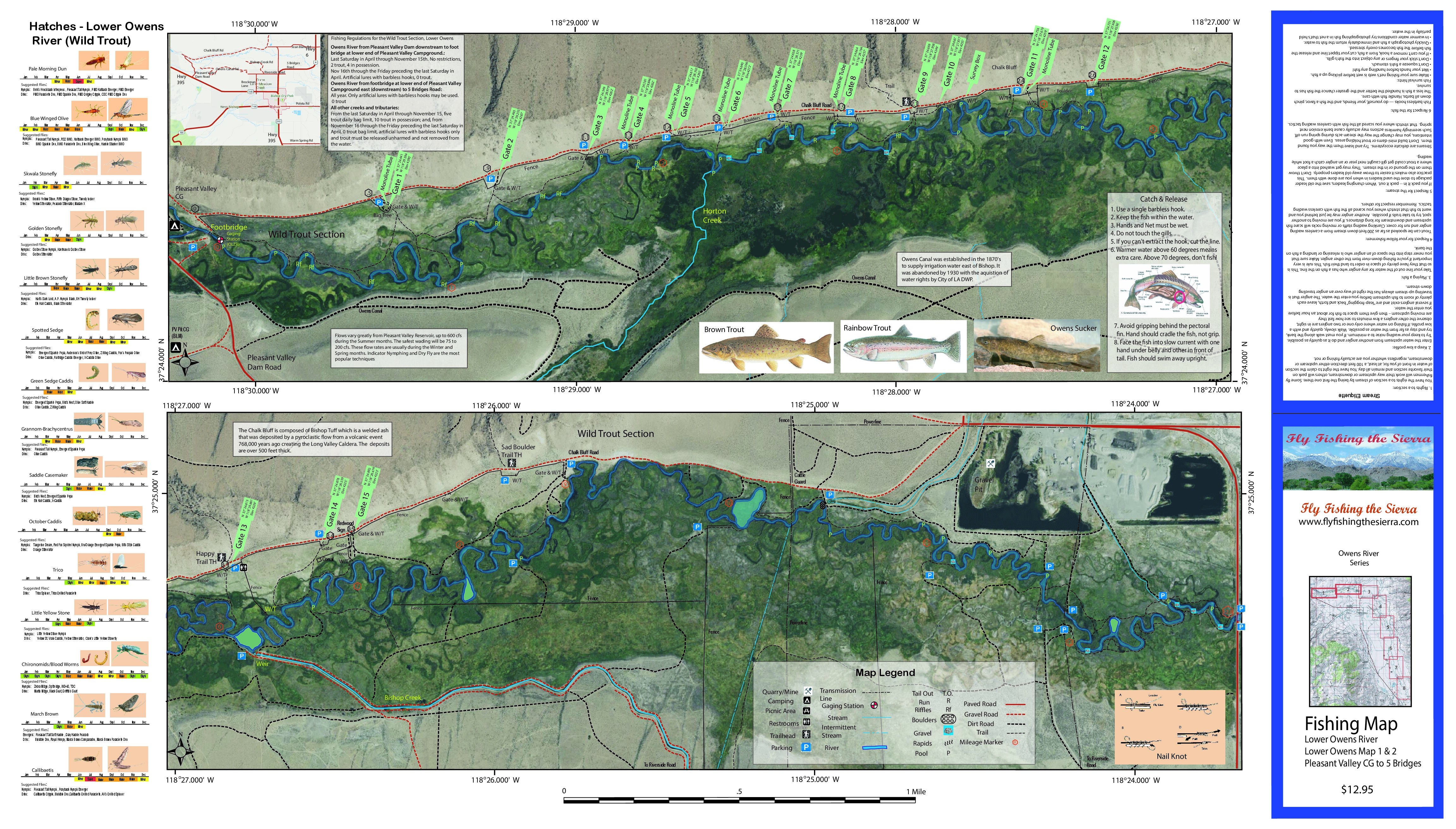
Lower Owens 1&2 covers the Owens River between the Pleasant Valley Reservoir and 5 Bridges. Shows road access, GPS Long./Lat. and trails. Satellite photo background depicts vegetation surrounding the river. Special Features are the Hatch Chart, Fishing Season and Regulations, Fish Identification, Catch & Release Procedures, and Stream Etiquette guidelines.
The Lower Owens 1&2 covers the Wild Trout area which is catch & release only with barbless hooks. The section contains wild Browns and Rainbows up to 18 inches. Best fished from Oct to April when flows are below 200 cfs. There are 15 parking areas set up with gates and trails to access the river.
For more information on the Lower Owens, see the website.