Sub-Total: $0.00
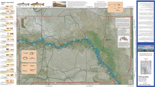
Lower Owens 3
$12.95
Description
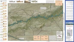
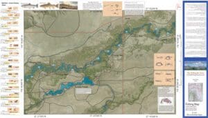
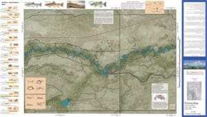
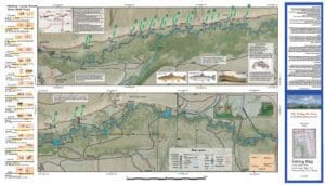
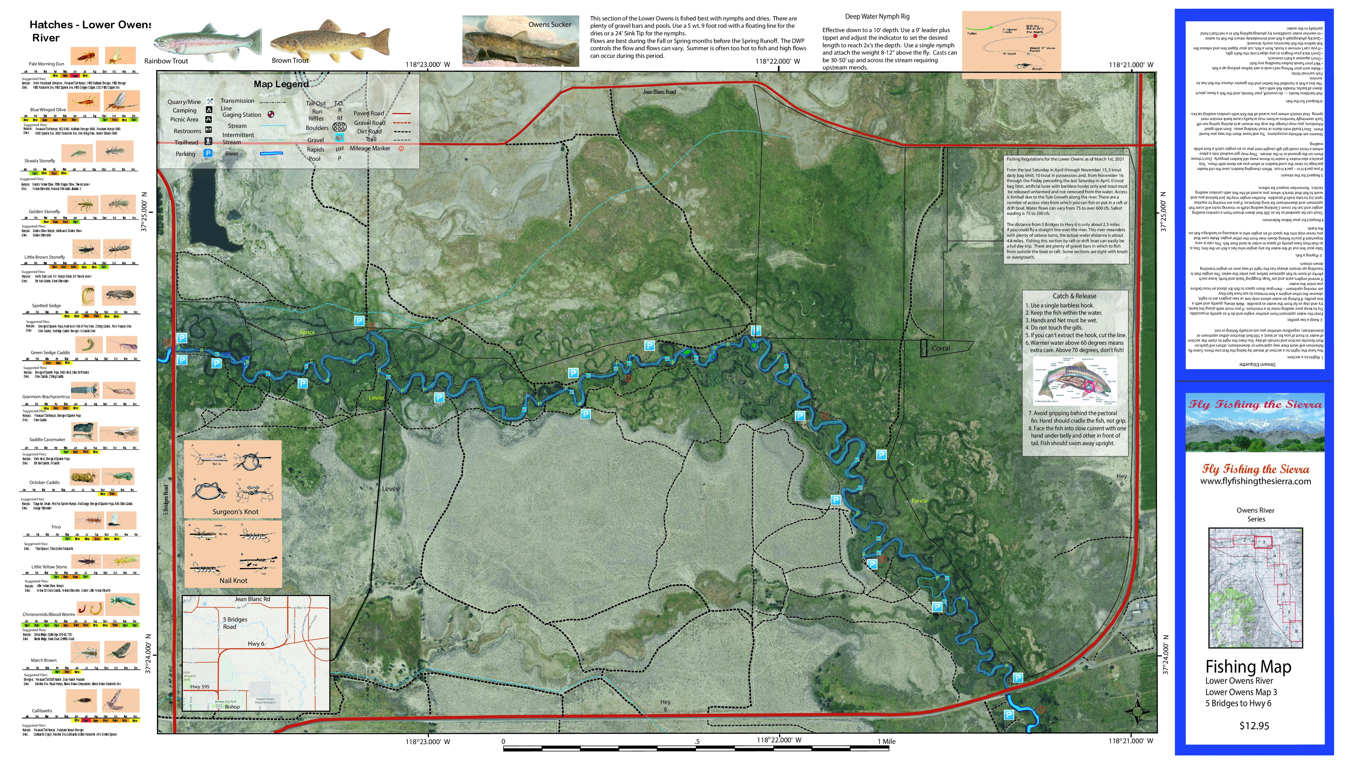
Lower Owens 3 covers the Owens River between 5 Bridges Road and Hwy 6. Shows road access, GPS Long./Lat. and trails. Satellite photo background depicts vegetation surrounding the river. Special Features are the Hatch Chart, Fishing Season and Regulations, Fish Identification, Catch & Release Procedures, and Stream Etiquette guidelines.
This section of the Lower Owens 3 contains both Browns and Rainbows. The streambank is heavily lines with Tule reeds but there are a number of access trails available. Flows are increased to over 300 cfs by the end of April and this section is not wadable until August or September.
For more information on the Lower Owens, see the website.