Sub-Total: $0.00
Eastern Sierra Region 1 – research fishing opportunities

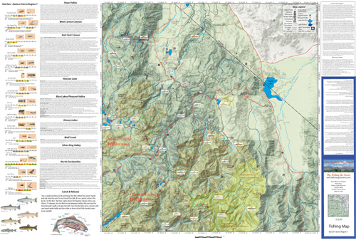
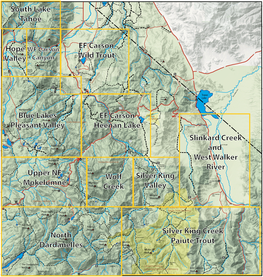 Click the map or the link for a detailed map of the area: | ||||
| 1. Hope Valley | 8. Wolf Creek | |||
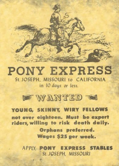
This region not only has great fishing but was an important region to reach the coastal areas of California. Explorer Kit Carson found the Carson Pass which was used by the Pony Express to bring mail into California.
The region is also reknown for the native Lahontan Cutthroats that inhabited these waters and the Paiute Cutthroats that will soon be available for fishing
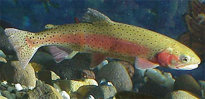
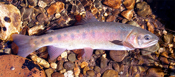 Paiute Cutthroat
Fishing Map AvailableCovers the East Fork and West Fork Carson River, Wolf Creek, Heenan Lake, Indian Creek Reservoir, and Kinney Lakes. Shows topographic relief, GPS Long./Lat., camping areas, road access, and trailheads. Special Features are Suggested Flies, Hatch Chart, Fishing Season and Regulations, Fish Identification, Catch & Release Procedures, and Stream Etiquette guidelines. | Eastern Sierra Region 1
| $12.95 eachPurchase Here | |