Sub-Total: $0.00
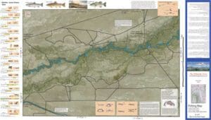
Lower Owens 8
$12.95
Description
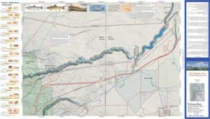
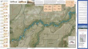
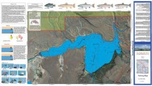
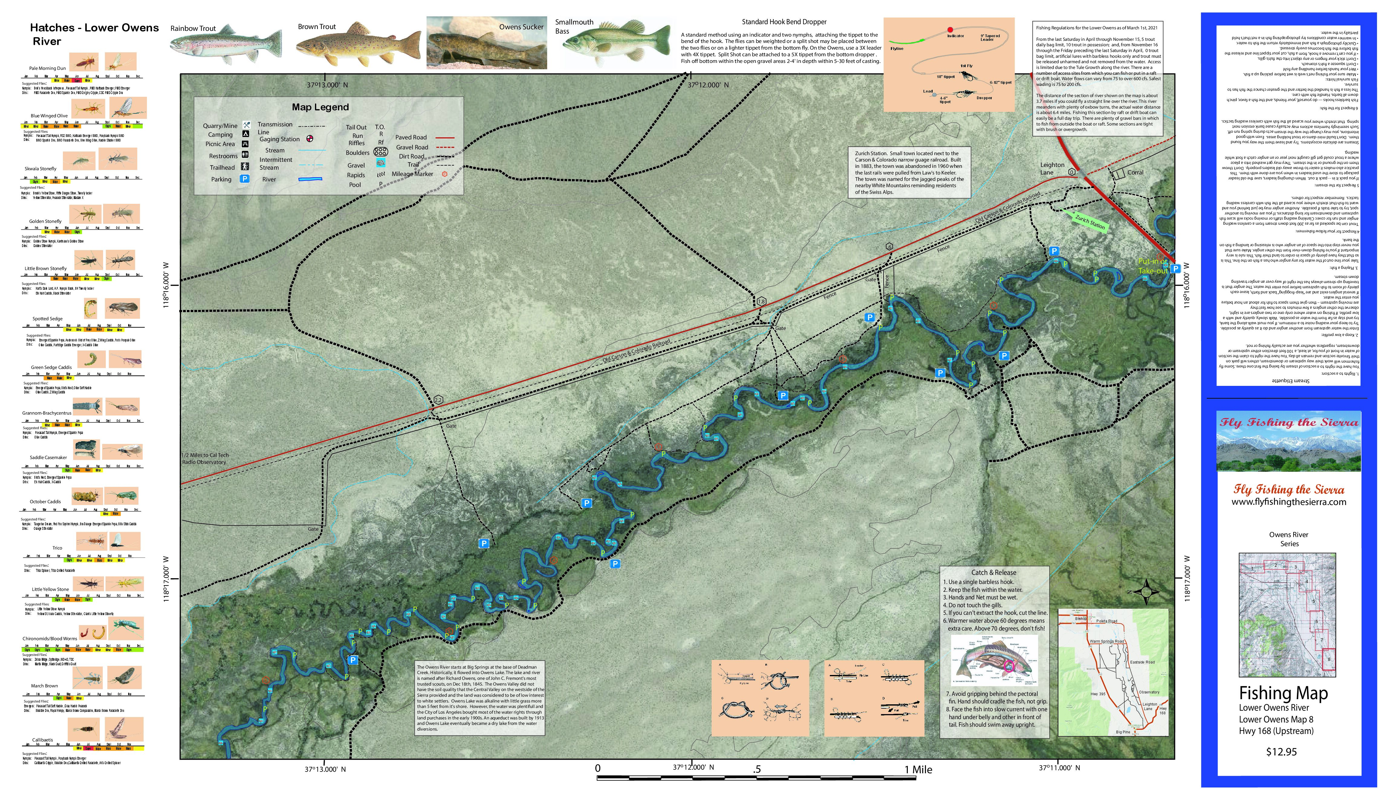
Lower Owens 8 covers the Owens River, 6 miles upstream of the Hwy 168. Shows road access, GPS Long./Lat. and trails. Satellite photo background depicts vegetation surrounding the river. Suggested Parking Sites and Stream Mileage from the Put-in/Take out at Hwy 168. Special Features are the Hatch Chart, Fishing Season and Regulations, Fish Identification, Catch & Release Procedures, and Stream Etiquette guidelines.
The Lower Owens 8 contains Rainbow Trout, Brown Trout, Largemouth Bass, and Smallmouth Bass. Best fished during Spring, Fall, and Winter. Flows increase at the end of April to over 600 cfs. Safe Wading is below 300 cfs and the flow may drop to that by mid Summer around August. For other maps of the Lower Owens, see the website.