Sub-Total: $0.00
Eastern Sierra Region 6

 Click the map or the link for a detailed map of the area: |
|||||
|
1. Lake Basin 2. Upper South Fork Kings River 3. Woods Creek 6. Rae Lakes
|
8. Bubbs Creek 11. Tyndall Creek 12. Wallace Creek/Wright Lakes 13. Taboose Pass
|
14. Sawmill Pass 15. Baxter Pass 16. Kearsarge Pass 17. Shepherd Pass 18. George Creek 19. Portal
|
|||
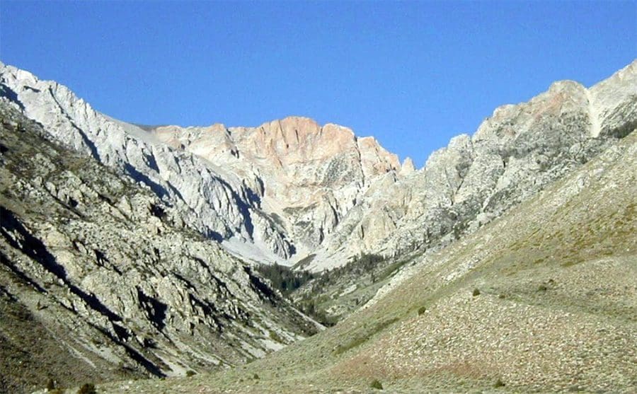
This region is a backpacker’s delight. There are seven major passes allowing access over the Sierra Crest. Some are more difficult than others. The more popular passes are Taboose, Kearsarge, and Portal. Taboose Pass will allow access into the upper South Fork of the Kings River with Bench Lakes and the nearby Lakes Basin.
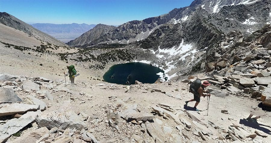
Kearsarge Pass is probably the favorite trail to get over the crest since it is just a 5 mile hike with a 2500′ climb. Plenty of shade and water along the way with great fishing. On the other side of the crest is Charlotte Lake and the Rae Lakes.
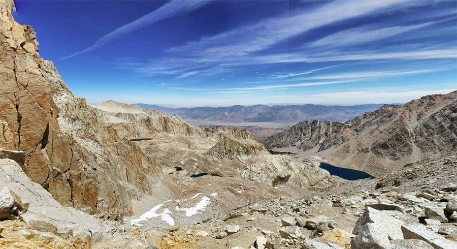
Whitney Portal is definitely the busiest pass in this region. A quota system is in place from May through October with 100 day hikers and 60 overnight hikers each day. To get to Trail Crest is a 8.2 mile climb to 13,600′. Once over the crest, you drop down into Guitar Lake and Crabtree Lakes.
|
|
|||
Fishing Map AvailableCovers the Upper SF Kings River, Upper Woods Creek, Rae Lakes, Kearsarge Pass, Upper Bubbs Creek, and Wallace Creek areas. Shows topographic relief, GPS Long./Lat., camping areas, road access, and trailheads. Special Features are Suggested Flies, Hatch Chart, Fishing Season and Regulations, Fish Identification, Catch & Release Procedures, and Stream Etiquette guidelines. |
Eastern Sierra Region 6
|
$12.95 eachPurchase Here |
|
