Sub-Total: $0.00
Eastern Sierra Region 2 – research fishing opportunities

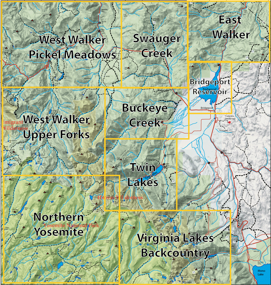 Click the map or the link for a detailed map of the area: |
||||
|
4. East Walker |
7. Twin Lakes |
|||
|
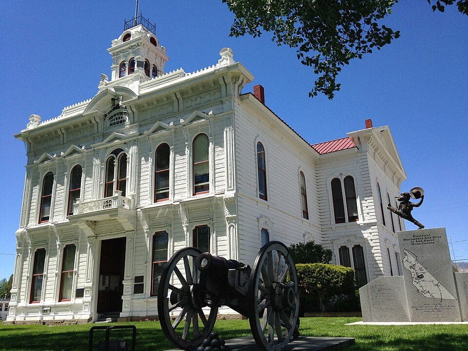
Bridgeport is the seat of Mono County. The town has beautifully restored the county courthouse building built in 1880.
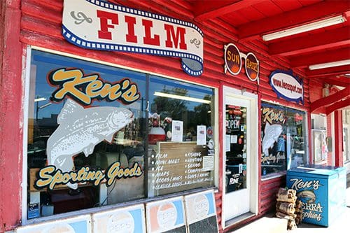
Next door to the courthouse is Ken’s Sporting Goods, one of the finest fly shops in the Sierra. Very knowledgeable staff providing the proper flies and tackle to every angler.
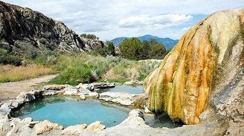
A popular destination is the Travertine Hot Springs that are about 2 miles southeast of town off Jack Sawyer Road from Hwy 395. These springs are administered by BLM with small pools to facilitate bathers. Travertine is a form of limestone. In the 1890’s, 60 tons of this material was mined from this site for the interior of the San Francisco City Hall.
|
|
|
|||
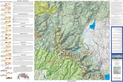
Fishing Map AvailableCovers the East Fork and West Fork Walker River, Bridgeport Reservoir, Twin Lakes, Virginia Lakes, Robinson and Buckeye Creeks. Shows topographic relief, GPS Long./Lat., camping areas, road access, and trailheads. Special Features are Suggested Flies, Hatch Chart, Fishing Season and Regulations, Fish Identification, Catch & Release Procedures, and Stream Etiquette guidelines. |
Eastern Sierra Region 2
|
$12.95 eachPurchase Here |
|